 +
+
How we know
what we say we know
Three hundred and fifty thousand sensors do not make a dataset. What makes any of this answerable is that everything they see converges on one place.
[ STAGE ONE · THE EDGE ]
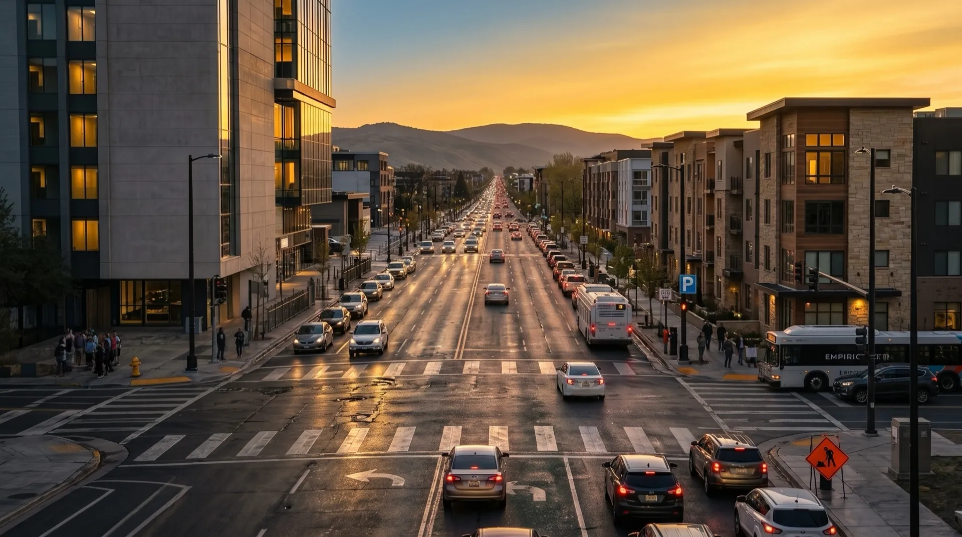
350,000 active sensors on vehicles making journeys their drivers were making anyway
No route is driven in order to produce data, which is why coverage follows real traffic rather than a survey plan. Each sensor runs models on the device. This is not a camera streaming video somewhere for processing: detection happens where the vehicle is, and what leaves is the detection plus the clip around it.
Objects detected daily
80M+
Real-world miles a month
More than 300 million
Countries
50+
[ STAGE TWO · THE BRAIN ]
Detections and confirmed events go to ATLAS
Millions of curated driving videos. Every product reads from it, so there is no separate dataset per product, and a scenario used to train a model is the same object an insurer or a city can be shown.
By similarity, not by keyword. The same model that scores collision risk also produces an embedding for every clip, so a query can be a clip or a description of a situation, and what comes back is the nearest real events, ranked. That is how you retrieve something nobody thought to label in advance.
[ STAGE THREE · WHAT COMES OUT ]
Four products, one record
Φ
BADAS
Predicts collisions ahead of time and runs on compute already present in the vehicle.
read more →
Δ
Risk Index
Counts events by place: hard braking, cornering and acceleration from the IMU, plus confirmed collisions. Old collisions stay in and count for less. Totals are divided by the traffic actually passing through, which is what separates a dangerous road from a busy one.
read more →
Σ
CityStream
Reports what changed on the network, refreshed as vehicles pass rather than on a survey cycle.
read more →
Ψ
APEX
Scores somebody else’s system against a long-tail set held back from it.
read more →
[ STAGE FOUR · THE PROOF ]
Every figure on this site carries four things
Scope
What population the figure describes, and what it excludes.
Method
How it was measured, and against what comparator.
Provenance
Who produced it, and whether they had a commercial interest in the result.
Date
When it was measured, and over what period.