Real roads. Real drivers, Measured at scale.
World Intelligence answers questions about the physical world: what happened, how often, and what it led to.
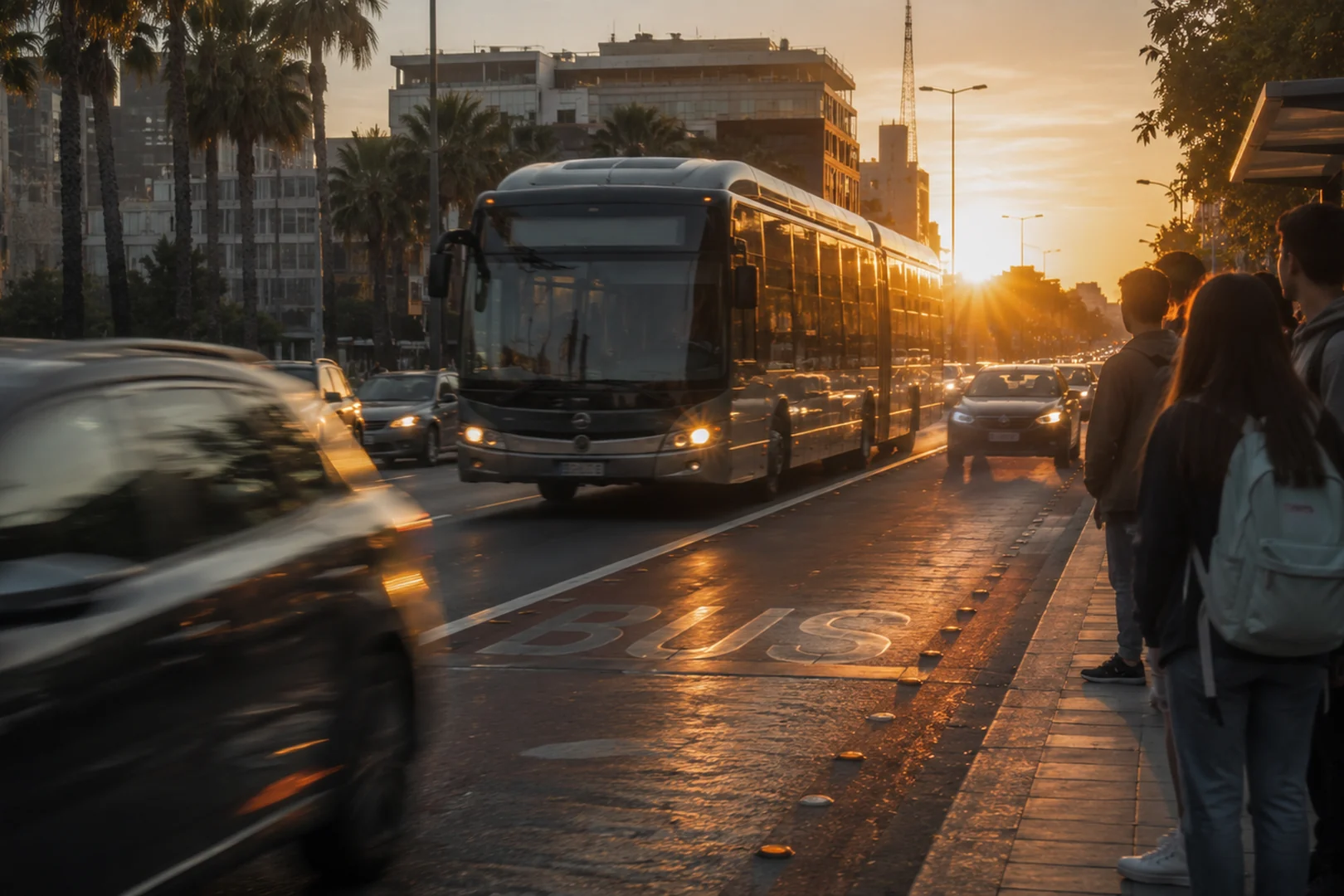
Real-world intelligence for real-world outcomes
Our independent record of the physical world can be searched, tested, modeled, measured or monitored by Empiric Earth’s suite of solutions to improve safety and drive savings.

Ask the record a question
Search 10 billion miles of indexed road experience by condition, behavior, asset, geography, or outcome. If the record doesn’t have what you need, targeted collection requests work to fill in the gaps from the live network.
Atlas users include AV validation leads, research teams, insurers, and city analysts.
Learn more about Atlas →
Score an autonomous system against real events
Test AV systems on their reaction time, anticipation, avoidance and confidence against real events before live deployment.
APEX users include AV program leads, regulators, and city and state transportation officials.
Learn more about APEX →
Real-world collision anticipation
BADAS (Beyond ADAS) predicts collision risk and driver trajectory from a single video stream.
BADAS users include AV and robotics teams, OEM and ADS programs, fleet safety teams, insurers and R&D teams.
Learn more about BADAS 2.0 →
Know where road risk actually concentrates
Risk Index measures where risk is building on the roads before the complaints and crash reports arrive.
Risk Index users include transportation and safety teams, AV and ADAS teams, and insurers.
Learn more about Risk Index →
See live road network changes
CityStream delivers a constantly updating view of roads through the Empiric Earth sensor network for rapid visibility of work zones, signs, and road condition.
CityStream users include DOTs, city operations, mapping teams, AV and robotics companies, and infrastructure program leads.
Learn more about CityStream →Since 2015, a sensor network has been building real-world driving history.
Since 2015, a sensor network has been building real-world driving history
Body: Empiric Earth has captured how the physical world behaves and changes – from drivers and other road users to potholes and street signs. Every event in it shows what happened next and the outcome, not just a picture of the road.
Recorded miles
Countries
New miles a month
Edge cases
See the industries we serve
One measured record, read differently by insurers, cities, automotive OEMs, autonomy teams and fleet operators.