 Field note · 01
[ World Intelligence · Atlas ]Get the long-tail scenarios
Get the long-tail scenarios
you can’t simulate
Atlas is a search engine for the real world. Describe a situation and it returns the real events that match, ranked by how dangerous they actually got. It is not a dataset you download and sift through. It is a question you ask.
[ Who Is Atlas For ]
How can you use Atlas?
The Atlas platform is the foundation for anyone focused on mitigating risk and accelerating autonomy.
01Validation leads
02AV & Robotics
03Insurers
04Cities & DOTs
05Researchers
Test coverage / known gap
Gap identified
02 / 06 Open use case
ΔAV and robotics teams
Find the rare road conditions that determine whether an operating area is ready.
Explore the use caseArea readiness / route
Operating area
03 / 06 Open use case
ΣInsurers
Inspect event evidence by geography, severity, and what happened next.
Explore the use caseGeography / event evidence
Events, not assumptions
04 / 06 Open use case
ΨCities and DOTs
See which corridors and intersections deserve attention first.
Explore the use caseCorridor / intersection
Priority corridor
05 / 06 Open use case
ΛResearchers
Turn one observed behaviour into a defensible sample at scale.
Explore the use caseOne behaviour / at scale
Matched event cluster
[ Atlas in action ]
Get a demo of Atlas
Ask for a demo where we will run a real scenario from your project. See roads from your network, explore rare scenarios, and discover the real-world intelligence inside Atlas.
[ What Atlas delivers ]
Ask Atlas, get intelligence on demand
From a natural-language question to inspectable road evidence.
Meaning
Matches by meaning, not by caption
Runs are ranked on video rather than text, so the right clips are returned, even if they were never labelled.
Severity
Ranked by risk
Results are ordered by their peak collision-risk score from BADAS 2.0, so you get the severe version of a scenario instead of the most common one.
Context
Context attached
Location, date, and what happened next are included on every result.
Similarity
Similar events
From any clip, pull visually similar ones, including clips carrying no description at all.

[ Targeted collection ]No such thing as
No such thing as
“no results found”
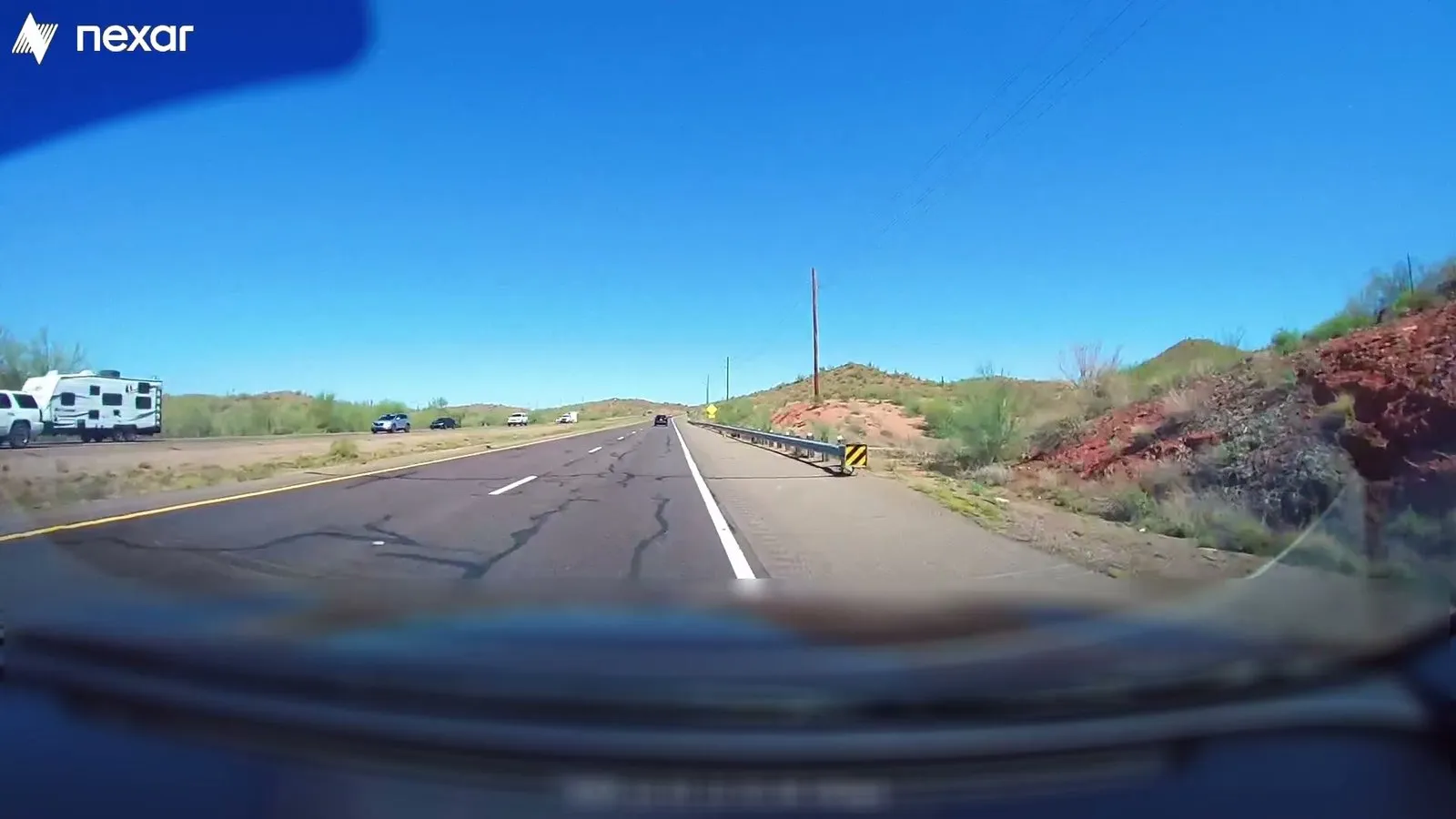
Targeted collection points the live network at the condition you asked for. Unlike static archives, a gap in coverage becomes a collection campaign for Atlas rather than a dead end.
[ Specifications ]


Sortable, searchable, and ready to use
Corpus
6M+ curated driving videos, filtered to usable road footage
Retrieval
Vector similarity over video embeddings, not text matching
Ranking
Relevance, or peak collision-risk score
Filters
Location, metro area, date
Workspaces
Folders, threaded comments, CSV export at any size
Access
Web, and API [Coming soon]

[ The Atlas advantage ]High-quality,
High-quality,
AI-ready intelligence
Every video is classified before it enters the index, and in-cabin, stationary, and low-quality footage is filtered out. Atlas delivers road video that a human would consider usable, not everything the network saw.
Coverage varies by geography. For some questions the honest answer is that the evidence is thin, and Atlas is more useful for telling you that early than a survey would be.
[ Enquiry ]
Discover all that Atlas holds
Reach out with your scenario and see what comes back.
[ Contact us ]
Typically replies in 1–2 business days.